Is it possible kayaking on Murchison Falls, embarking on a kayaking journey down the powerful…
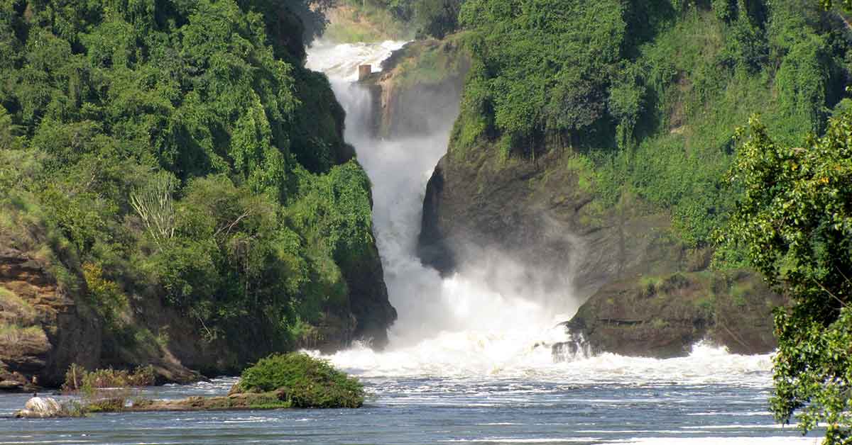
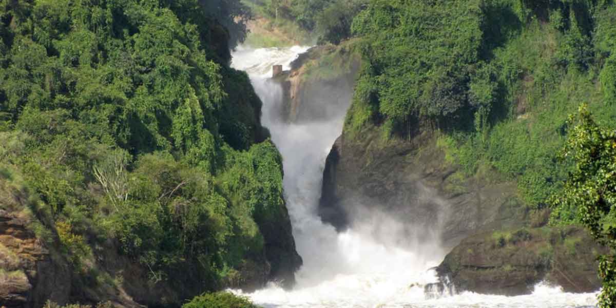
The stunning Karuma Falls lies on the eastern boundary of Murchison Fall National Park. The roaring waterfalls on the Victoria Nile are equally one of Uganda’s top tourist attractions one can see while heading to Murchison Falls National Park. Karuma falls is a name that arose from believing that Karuma a certain spirit, places stones that break the waters in the river. In addition, the falls are located at the spot where the Masindi-Gulu Road crosses the river Nile, 110km northeast of Masindi town and 70km south of Gulu town. Of course, the two districts are joined by the Karuma Bridge, built in 1963 to help the cotton farmers in west Nile. The bridge crosses the massive waterfall where the sprays of white water run towards Sudan in the north.
History of Karuma Falls Bridge.
Previously, karuma falls bridge was constructed to help the cotton farmers in northern Uganda to cross the river, and it was established in 1963. However, the falls were once designated as a hazardous zone for the reason that the Lord’s Resistance Army also called the LRA rebel staged several attacks within this area. These rebels would hide within the bush, and from there attack cars as well as buses traveling to both directions. Though, today it is very safe, given that the rebels were set out of this region by the Ugandan army all the way to the rain forests within the Democratic Republic of Congo in 2007.
Karuma Hydroelectric Power Station.
Additionally, the stunning Karuma falls are habitat to the 600Mw Karuma Hydropower Project. It’s located on the Nile River in Kyandongo District in mid-northern Uganda, 110km downstream of Lake Kyoga, and 270km from Kampala the Capital of Uganda. The geographical coordinates of Karuma Hydroelectric Power Station are: 02°14’51.0″N, 32°16’05.0″E (Latitude:2.247500; Longitude:32.268056).
Related Posts